The Climate Zones of Mount Kilimanjaro
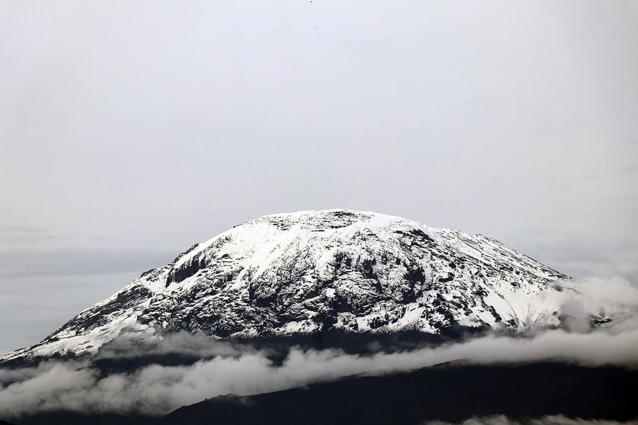
Because of Mount Kilimanjaro’s high altitude and unique geographic location, the mountain has multiple climate zones, also known as vegetation zones and ecological zones. The mountain produces a sequence of climates and habitats layered on top of one another as it rises from the East African plains to an astounding height of 19,341 feet (5,895 meters).
The many zones on Mount Kilimanjaro are caused by a multitude of reasons.
The Six Climate Zones
Changes in Pressure and Temperature: As altitude rises, air pressure falls, causing notable variations in temperature. Kilimanjaro’s zones are made possible by distinct temperature and precipitation ranges that sustain various forms of life.
Microclimates: Kilimanjaro produces its own distinct climates because it is a stand-alone massif. The microclimates are influenced by the mountain’s slope, which also affects drainage, wind exposure, and sunshine intake.
Settlements and Agriculture: Human activities like agriculture have affected the lower zones, changing the natural ecological conditions.
Volcanic Soil: As you ascend Kilimanjaro, the rich volcanic soil at the lower elevations supports rich vegetation and agriculture, but as you ascend, the soil changes and becomes less diverse in terms of plant life.
Rain Shadow Effect: On the leeward side, the mountain casts a rain shadow by blocking the moist air from the Indian Ocean. Variations in humidity and rainfall as a result have an impact on the kinds of flora and ecosystems that exist in each zone.
Kilimanjaro is located close to the equator, allowing tropical weather to exist at its foot. At the peak of the mountain, the equatorial sun and height of the mountain span climate extremes from equatorial to arctic.
The climate zones on Mount Kilimanjaro are listed here, arranged from lowest to highest altitude, along with the zone’s typical annual precipitation and features.
Zone of Bushland/Cultivated
2,600 to 6,000 feet (800 to 1,800 meters) in altitude
20 to 70 inches of precipitation (1,800 to 1,800 mm)
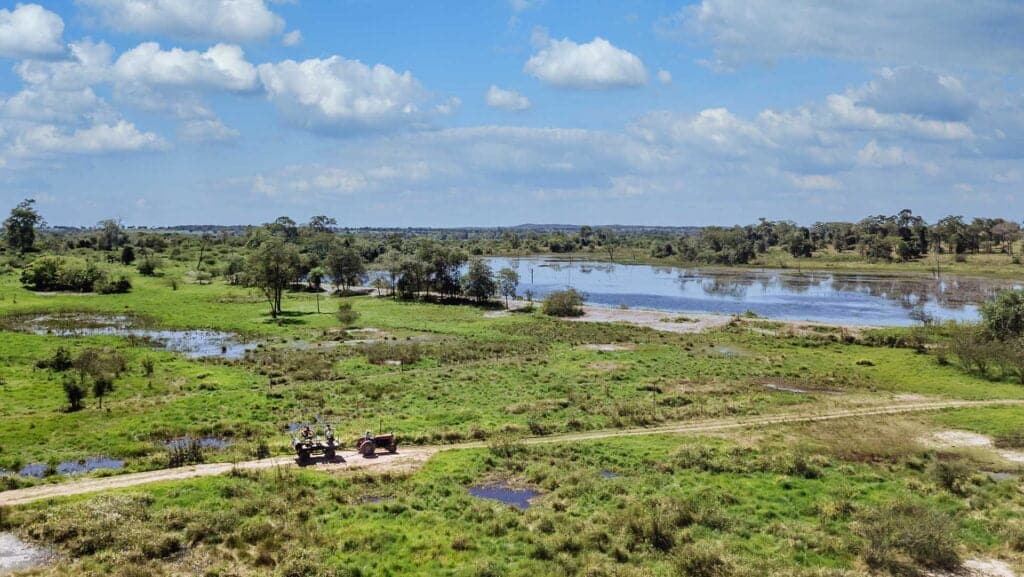
The bushland/cultivated zone, which is at least half a mile above sea level, has the lowest elevation climate zone. This zone is defined by populous human settlements, farms, and grasslands. This is the location of the town of Moshi.
The area used to be covered in lowland woods, plains, and natural bush. Nonetheless, this region is perfect for agriculture due to its abundance of excellent volcanic soil. The Chagga people came to live on these lower slopes and farmed a range of products, including tropical fruits and the highly valued coffee. Subterranean channels that go through the earth from the verdant jungle nested above irrigate the gardens.
Numerous mountain guides in the area are native to the neighbouring settlements. Since farmers eradicated them years ago, large wild creatures are rare to observe here. Small nocturnal mammals like tree hyraxes and galagos, however, continue to flourish. There are also many birds, like tropical boubou and speckled mousebirds.
Zone of Rainforest
6,000 to 9,200 feet (1,800 to 2,800 meters) in altitude
Rainfall: between 79 and 40 in (2,000 and 1,000 mm)
The jungle is bursting with wildlife and receives six to seven feet of rain annually. This climate zone is mostly forested, with warm temperatures and considerable humidity during the day. Rainy nights, however, can result in unexpectedly low temperatures. To shield themselves from the persistent rainfall, climbers should always have their rain gear on hand.
The best chances to see rare varieties of African flora and fauna are found in the rainforest. Here you’ll find a variety of orchid species, ferns, olive trees, sycamore figs, and palms covered with hanging mosses. Reaching up to 130 feet through the canopy, camphorwood trees cling to the sun. A vivid mix of sounds emanates from the wide species of birds, and blue and Colobus monkeys frolic around the trees, loudly enticing partners.
Ascending the peak via the Rongai, Lemosho, Shira, or Northern Circuit paths, adventurers might be fortunate enough to observe antelope, buffalo, elephants, and the rare predator meandering through the area in pursuit of a straggling meal.
Zone of the Alpine Desert
13,200–16,500 feet (4,000–5,000 meters) in altitude
Rainfall: 10 inches (250 mm)
Rocks of all sizes and forms formed by volcanic eruptions make up the alpine desert. Because this area receives minimal water, the vegetation is sparse. Throughout the day, it can get rather hot. Extremely high amounts of solar radiation are caused by the thin air and close closeness to the equator. It is imperative that you use a lot of sunscreen. Temperatures frequently drop to well below freezing during the night, leaving the tents with a little layer of ice in the morning.
This zone falls under mountain medicine’s “very high altitude” category. Climbers should spend a lot of time here for the best acclimatization. Several times along our chosen routes, we will camp here the night before the summit, after briefly entering this zone. We advise our consumers to “slumber low, climb high” in order to lessen the negative impacts of altitude.
The majority of plant and animal species cannot survive in this arid region due to its shallow soil, which can not hold much water. Among the few plant species that can tolerate such severe circumstances are everlastings, tussock grasses, and moss species. A few of the moorland’s inhabitants will occasionally venture to these altitudes, but these instances are quite uncommon.
You can find the current weather for the alpine desert zone of Mount Kilimanjaro here.
Zone Arctic
Height: 5,001+ meters/16,500+ feet
Rainfall: less than 4 inches (100 mm)
The arctic zone is the last part of Kilimanjaro’s climb.
This kind of area is comparable to discovering a section of rainforest in the center of an Arctic glacier within Africa’s equatorial belt. At this height, which is characterized by ice and rock, there are hardly any plants or animals. The slopes that were previously hidden by the retreating glaciers that could be seen from Kilimanjaro’s crater rim are now covered with glacial silt. The daytime sun is strong and unbuffered, and the nights are bitterly cold and windy.
This region is categorized as “extreme altitude” in mountain medicine. Breathing becomes difficult and slows down because oxygen levels are about half of what they are at sea level.
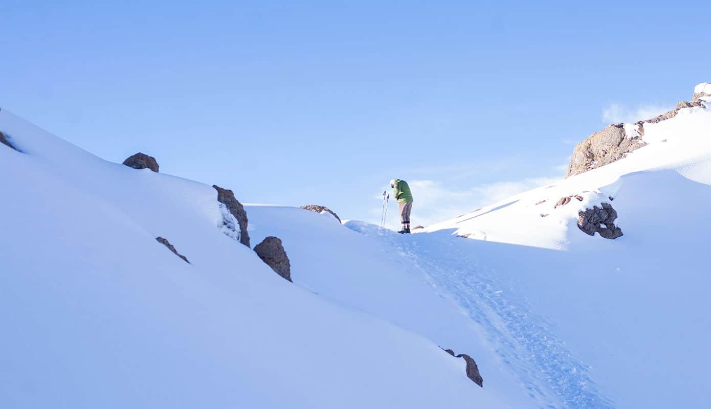
On their route to the top, climbers will pass through this area. Expect to wear multiple layers of clothing on top and bottom because this is usually done in the middle of the night. You will have to spend six to eight hours in bitterly cold or even freezing conditions with heavy winds.
Except for crater camp routes, this zone is not used for sleeping. At these altitudes, climbers are likely to encounter a range of altitude-related illnesses. We therefore make an effort to limit our time spent here. Before AMS can escalate, we swiftly summit and descend.
Here are the current weather conditions at the summit of Mount Kilimanjaro.

